
Geodatabase Talk 
This course, Geodatabase Talk, covers the fundamentals of geodatabases. It begins by introducing the concept of a geodatabase and then moves on to discuss tables, workspaces, versioning, registration types, and more. It provides an in-depth look at the components of a geodatabase and how they can be used to store, manage, and analyze spatial data. ▼
ADVERTISEMENT
Course Feature
![]() Cost:
Cost:
Free
![]() Provider:
Provider:
Youtube
![]() Certificate:
Certificate:
Paid Certification
![]() Language:
Language:
English
![]() Start Date:
Start Date:
On-Demand
Course Overview
❗The content presented here is sourced directly from Youtube platform. For comprehensive course details, including enrollment information, simply click on the 'Go to class' link on our website.
Updated in [February 21st, 2023]
What does this course tell?
(Please note that the following overview content is from the original platform)
#Geodatabase Talk - Episode 1 - What is a Geodatabase?.
#Geodatabase Talk - Episode 2 - Tables.
#Geodatabase Talk - Episode 3 - Workspaces.
#Geodatabase Talk - Episode 4 - Versioning.
#Geodatabase Talk - Episode 5 - Registration Types.
#Geodatabase Talk - Episode 6 - High Isolation.
#Geodatabase Talk - Episode 7 - Stateful DB Connection.
#Geodatabase Talk - Episode 8 - Domains.
#Geodatabase Talk - Episode 9 - SDE.
#Geodatabase Talk - Episode 10 - DDL vs DML.
#Geodatabase Talk - Episode 11 - Archiving.
#Geodatabase Talk - Episode 12 - Undo edits through services.
#Geodatabase Talk - Episode 13 - Split.
#Geodatabase Talk - Episode 14 - SDE Intercepts.
#Geodatabase Talk - Episode 15 - ObjectID.
We consider the value of this course from multiple aspects, and finally summarize it for you from three aspects: personal skills, career development, and further study:
(Kindly be aware that our content is optimized by AI tools while also undergoing moderation carefully from our editorial staff.)
What skills and knowledge will you acquire during this course?
By taking this course, participants will acquire knowledge and skills related to geodatabases, including understanding what a geodatabase is, how to create and manage tables, workspaces, versioning, registration types, high isolation, stateful DB connection, domains, SDE, DDL vs DML, archiving, undo edits through services, split, SDE intercepts, and ObjectID.
How does this course contribute to professional growth?
This course contributes to professional growth by providing an in-depth look into the fundamentals of geodatabases. It covers topics such as tables, workspaces, versioning, registration types, high isolation, stateful DB connection, domains, SDE, DDL vs DML, archiving, undo edits through services, split, SDE intercepts, and ObjectID. By understanding these topics, professionals can gain a better understanding of how to effectively use geodatabases in their work.
Is this course suitable for preparing further education?
This course is suitable for those looking to gain a better understanding of geodatabases and could be beneficial for those preparing for further education.
Course Provider

Provider Youtube's Stats at AZClass
Over 100+ Best Educational YouTube Channels in 2023.
Best educational YouTube channels for college students, including Crash Course, Khan Academy, etc.
AZ Class hope that this free Youtube course can help your ArcGIS skills no matter in career or in further education. Even if you are only slightly interested, you can take Geodatabase Talk course with confidence!
Discussion and Reviews
0.0 (Based on 0 reviews)
Explore Similar Online Courses

Hadoop Tutorial for Beginners Hadoop Tutorial Big Data Hadoop Tutorial for Beginners Hadoop

UX Portfolios 101: Standing Out with Case Studies

Python for Informatics: Exploring Information

Social Network Analysis
Introduction to Systematic Review and Meta-Analysis
The Analytics Edge

DCO042 - Python For Informatics
Causal Diagrams: Draw Your Assumptions Before Your Conclusions
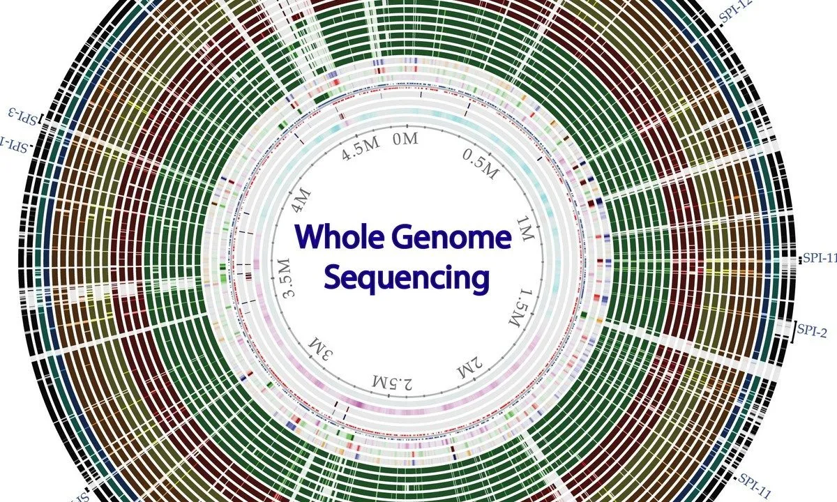
Whole genome sequencing of bacterial genomes - tools and applications
Deep Learning
How to create new shape file and geodatabase in ArcGIS
Start your review of Geodatabase Talk