How to create new shape file and geodatabase in ArcGIS 
ArcGIS is a powerful tool for creating and editing spatial data. This course covers topics such as creating new shapefiles and geodatabases, digitizing, editing and topology correction, joining Excel sheets and layers, merging maps, and performing buffer analysis. Learners will gain an understanding of how to use ArcGIS to effectively manage and analyze spatial data. ▼
ADVERTISEMENT
Course Feature
![]() Cost:
Cost:
Free
![]() Provider:
Provider:
Youtube
![]() Certificate:
Certificate:
Paid Certification
![]() Language:
Language:
English
![]() Start Date:
Start Date:
On-Demand
Course Overview
❗The content presented here is sourced directly from Youtube platform. For comprehensive course details, including enrollment information, simply click on the 'Go to class' link on our website.
Updated in [February 21st, 2023]
This course provides a comprehensive guide to creating new shape files and geodatabases in ArcGIS, including digitizing, editing and topology correction, joining excel sheets and layers, buffer analysis, selecting features by location and attributes, SQL query and python command, land use classification using Landsat 8 images, and area calculation of an interpolated map.
Possible development paths for learners include becoming a GIS analyst, GIS technician, GIS specialist, GIS developer, GIS consultant, GIS manager, or GIS educator. Learners can also pursue further education in GIS, such as a master's degree in GIS or a certificate in GIS.
Learning suggestions for learners include familiarizing themselves with the basics of GIS, such as data types, coordinate systems, and projections. Learners should also practice using GIS software, such as ArcGIS, QGIS, and MapInfo. Additionally, learners should explore the various GIS applications, such as cartography, geocoding, and remote sensing. Finally, learners should consider taking courses in related fields, such as geography, computer science, and statistics.
[Applications]
After taking this course, participants can apply their knowledge to create new shape files and geodatabases in ArcGIS, as well as digitize, edit, and correct topology. They can also join Excel sheets and layers in ArcGIS, use the buffer analysis tool, select features by location and attributes, use SQL queries and Python commands, and classify land use using ArcGIS. Additionally, they can calculate the area of an interpolated map without using the Raster Calculator.
[Career Paths]
1. GIS Analyst: GIS Analysts use geographic information systems (GIS) to analyze and interpret data related to the Earth's surface. They create maps, analyze spatial data, and develop models to help organizations make informed decisions. GIS Analysts are in high demand as the use of GIS technology continues to grow in many industries.
2. GIS Developer: GIS Developers are responsible for developing and maintaining GIS applications and databases. They use programming languages such as Python and JavaScript to create custom GIS applications and integrate them with existing systems. GIS Developers are in high demand as organizations increasingly rely on GIS technology to make decisions.
3. GIS Technician: GIS Technicians are responsible for collecting, organizing, and analyzing geographic data. They use GIS software to create maps, analyze spatial data, and develop models. GIS Technicians are in high demand as organizations increasingly rely on GIS technology to make decisions.
4. GIS Consultant: GIS Consultants provide advice and guidance to organizations on how to use GIS technology to solve problems. They analyze data, develop models, and create maps to help organizations make informed decisions. GIS Consultants are in high demand as the use of GIS technology continues to grow in many industries.
Course Provider

Provider Youtube's Stats at AZClass
Discussion and Reviews
0.0 (Based on 0 reviews)
Explore Similar Online Courses

UX 101: Apply Design Thinking to Create Engaging Designs

Instagram for Artists: Grow Your Following with Daily Drawing Challenges

Python for Informatics: Exploring Information

Social Network Analysis

Introduction to Systematic Review and Meta-Analysis
The Analytics Edge

DCO042 - Python For Informatics

Causal Diagrams: Draw Your Assumptions Before Your Conclusions
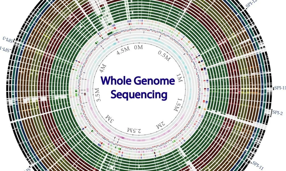
Whole genome sequencing of bacterial genomes - tools and applications

Deep Learning
3D GIS

Start your review of How to create new shape file and geodatabase in ArcGIS