
Future Land Use with GIS - TerrSet - CA Markov - ArcGIS 
Explore the future of land use through GIS, TerrSet, and ArcGIS. Gain predictive insights and plan ahead. #LandUse #PredictiveAnalysis #GIS ▼
ADVERTISEMENT
Course Feature
![]() Cost:
Cost:
Paid
![]() Provider:
Provider:
Udemy
![]() Certificate:
Certificate:
Paid Certification
![]() Language:
Language:
English
![]() Start Date:
Start Date:
2023-02-23
Course Overview
❗The content presented here is sourced directly from Udemy platform. For comprehensive course details, including enrollment information, simply click on the 'Go to class' link on our website.
Updated in [August 21st, 2023]
What skills and knowledge will you acquire during this course?
The course employs the CA Markov method for future land use prediction and utilizes tools like ArcGIS and Erdas for data preparation. Participants will work without coding, utilizing proprietary software tools. The course covers the process of preparing land use maps from scratch, focusing on predicting future urban areas based on various drivers or parameters.
The course delves into factors influencing future land use, including old city boundaries, roads, relief, agricultural sites, and forest cover. Participants will learn how to set up their models to avoid certain land use classes like water bodies. The course emphasizes achieving accuracy in learning and output, with demonstrated accuracy rates of 42% and 67% in different runs for learning and 89% accuracy in predicted land use. However, actual accuracy may vary depending on individual computer and data.
This expert-level course predominantly comprises practical exercises, constituting 90% of the content, with theory making up the remaining 10%. Participants are encouraged to engage in the QA session for clarifications. The course is designed for those familiar with proprietary software like TerrSet or IDRISI Taiga, offering comprehensive insights into advanced land use modeling techniques.
How does this course contribute to professional growth?
This course on Future Land Use with GIS - TerrSet - CA Markov - ArcGIS contributes to professional growth by providing practical knowledge and skills in using machine learning and land change modeling software. By learning how to use TerrSet and ArcGIS, professionals can enhance their ability to predict future land use and make informed decisions in urban planning and development. The course also emphasizes the importance of understanding and considering various drivers and parameters that influence land use, such as city boundaries, roads, relief, agriculture sites, and forest cover. Additionally, the course highlights the significance of accuracy in learning and output results, and provides guidance on modifying and improving the model. Overall, this course offers an expert-level understanding of land use prediction and equips professionals with the necessary tools to excel in their field.
Is this course suitable for preparing further education?
Yes, this course is suitable for preparing further education.
Course Syllabus
Introduction
About Software and Methodology
Preparing Landuse related Drivers
Roads Process
Downloading DEM and Prepare data of Landuse and Slope for Model input
Data Management
Zero and one Road Layer generation (Optional)
Project Setup and Starting Land change Model in Terrset, Data conversion
Transition sub model and parameter Power Test on landuse
Machine Learning in Action – CA Markov Chain Model, Future Predictions
Validation of Results
After Validation Generate Future images and understand concept of Matrix
What if run with different landuse and different settings an Extra Run Results
Additional GIS Task you may need it to prepare data
Download Data
What is next
Course Provider

Provider Udemy's Stats at AZClass
Discussion and Reviews
0.0 (Based on 0 reviews)
Explore Similar Online Courses
Basic of Desktop GIS & Web GIS: All Types of GIS Software

Machine Learning in GIS : Understand the Theory and Practice

Python for Informatics: Exploring Information

Social Network Analysis

Introduction to Systematic Review and Meta-Analysis
The Analytics Edge

DCO042 - Python For Informatics

Causal Diagrams: Draw Your Assumptions Before Your Conclusions
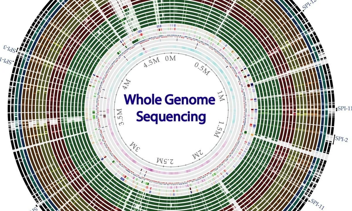
Whole genome sequencing of bacterial genomes - tools and applications
Introduction to GIS
Enterprise Geodatabases & Data Pipelines


Start your review of Future Land Use with GIS - TerrSet - CA Markov - ArcGIS