

Building Cloud based Geospatial Raster Service 
The "Building Cloud-based Geospatial Raster Service" course focuses on leveraging cloud technologies, specifically AWS Serverless, to deliver optimized raster datasets to end client applications. The course utilizes the popular Geospatial library GDAL within the Serverless architecture to enable core Geospatial capabilities. Students will learn how to work with sample geospatial raster datasets, optimize them for efficient serving through Serverless services, build and develop a Geospatial Restful API on AWS, and request raster datasets from front-end Geospatial Libraries. The course is designed for GIS professionals familiar with Geospatial Technologies who want to explore a new approach to server Geospatial Raster Datasets using the Serverless approach. ▼
ADVERTISEMENT
Course Feature
![]() Cost:
Cost:
Free
![]() Provider:
Provider:
Udemy
![]() Certificate:
Certificate:
No Information
![]() Language:
Language:
English
![]() Start Date:
Start Date:
2022-05-23
Course Overview
❗The content presented here is sourced directly from Udemy platform. For comprehensive course details, including enrollment information, simply click on the 'Go to class' link on our website.
Updated in [July 25th, 2023]
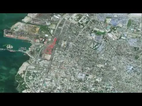
In this course, students will learn how to utilize cloud technologies (AWS Serverless) to deliver optimized raster datasets to end client applications. This approach is becoming increasingly popular and does not require a full 24/7 running geospatial server such as MapServer, GeoServer or ArcGIS Server. Students will make use of the popular geospatial library GDAL within their serverless architecture, which will enable the core geospatial capability within their service. GDAL is a very popular geospatial library that has been utilized in many open source and commercial applications and architectures. In this course, students will see how GDAL can be utilized within a Lambda function to convert it into a GeoLambda function, which essentially enables geospatial capabilities within the Lambda function. Once GDAL functionality is available, various operations and functions can be performed on data within a Lambda function. Students will look at approaches on how to work with sample geospatial raster datasets, how to optimize them for efficient serving through their serverless service (pre-processing), how to build and develop their geospatial Restful API (AWS), and finally how to request the raster dataset from front end geospatial libraries.
This course is ideal for GIS professionals who have been using geospatial technologies including ESRI or open source and want to explore the new way of utilizing and serving geospatial raster datasets. It should be noted that this approach has been adopted in various architectures and is found to be more efficient (in some use cases) as compared to geospatial servers; however, this does not mean that the serverless approach taught in this course is a complete replacement for geospatial servers like GeoServer, MapServer or ArcGIS Server. The use of server-based or serverless approaches for geospatial greatly depends on the project requirements and several other factors.
It is hoped that this advanced course will provide students with a glimpse into the world of serverless and how to utilize it for developing a raster-based geospatial system/service.
Course Syllabus
Cloud Computing AWS
Serverless, GeoLambda & Raster Data
Course Provider

Provider Udemy's Stats at AZClass
Discussion and Reviews
0.0 (Based on 0 reviews)
Explore Similar Online Courses
Exploration Seismology

Mastering Crystal Reports 2011 Made Easy Training Tutorial

Python for Informatics: Exploring Information

Social Network Analysis

Introduction to Systematic Review and Meta-Analysis
The Analytics Edge

DCO042 - Python For Informatics
Causal Diagrams: Draw Your Assumptions Before Your Conclusions
Whole genome sequencing of bacterial genomes - tools and applications

Geospatial Information Science and Technology Online Masters Program
Introduction to GeoSpatial Inteligence

Start your review of Building Cloud based Geospatial Raster Service